

Transform urban traffic management and transportation planning with centimeter-accurate, AI-powered geospatial intelligence—built for ITS applications, traffic optimization, and smart city integration.
Contact UsNavigate mounting pressure for traffic optimization, smart city integration, and efficient urban planning while managing costs and ensuring public safety.
%201.png)
Traffic Congestion & Economic Losses
Urban congestion leads to lost time, reduced productivity, and mounting economic costs—underscoring the urgent need for intelligent traffic optimization strategies.
%201.png)
Outdated Traffic Signal Systems
Traditional fixed-timer signals and poorly coordinated intersections can’t adapt to real-time conditions, worsening delays and increasing network-wide congestion.
%201.png)
Urban Planning Data Gaps
Transportation planners often operate without the complete, high-quality infrastructure data required for informed decision-making, multimodal planning, and long-term sustainability.

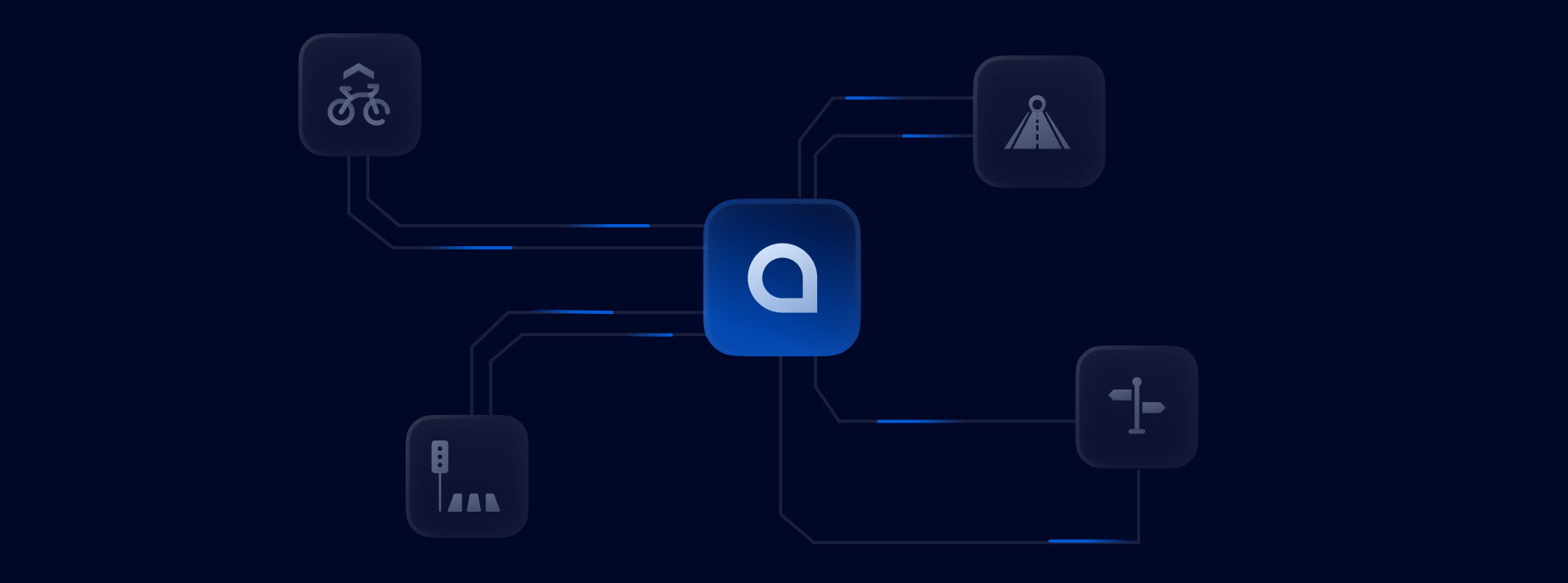
Smart City Integration Demands
As cities evolve, agencies need geospatial intelligence that integrates traffic control, emergency response, and public transit into unified, efficient smart city systems.


Signal Timing Analysis
Build accurate intersection models to test green wave patterns

Transit Corridor Design
Identify opportunities for bus rapid transit and priority lanes

Digital Twin Simulation
Integrate GeoMate maps into smart city traffic simulations

Connected Infrastructure Planning
Integrate GeoMate maps into smart city traffic simulations

Emergency Access Modeling
Use detailed spatial layers to plan optimized response routes

LiDAR-Free Technology
No LiDAR required — maps generated from aerial imagery and AI.

Platform-Ready Integration
Designed for integration into ITS modeling and simulation platforms.
%201.png)
Advanced Analytics Support
Semantic-rich data for advanced traffic and mobility analysis.

Universal Format Compatibility
Delivered in formats compatible with OpenDRIVE, Lanelet2, GeoJSON, and shapefiles

Scalable Area Coverage
Flexible deployment across large urban areas, corridors, or project zones


Learn More


