GeoMate delivers AI-powered compact HD maps that enable robotaxis and delivery robots to navigate safely in complex urban environments. From pilots to city-wide rollouts, our maps reduce costs, accelerate deployment, and ensure consistent fleet performance.
Contact Us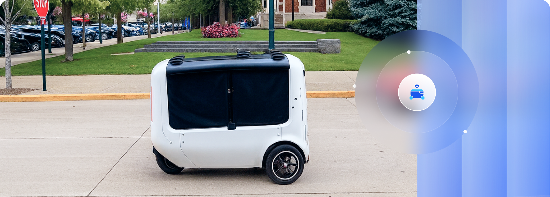
%201.png)
Complex Navigation
Fleets must operate reliably in dense city traffic, with pedestrians, cyclists, and unpredictable conditions.

Curbside Precision
Drop-off and pick-up zones, including driveway access points, are often missing or hard to locate—yet essential for safe, efficient operations.

High Mapping Costs
Traditional maps require expensive LiDAR equipment and field surveys, creating high costs and slowing adoption.

Scaling Across Cities
Expanding to new regions takes years due to limited high-definition map availability and data collection processes.

Continuous Updates
Road changes, signage updates, and construction zones quickly degrade map reliability.


Real-Time Updates
Keep maps aligned with evolving road infrastructure using bot's sensor data.

Lightweight Formats
Identify opportunities for bus rapid transit and priority lanes.
%201.png)
Cloud Delivery
Easy access, management, and expansion through SaaS platform.


AI-Generated & Scalable
Faster and more affordable than traditional HD maps.

Trusted Ecosystem
Collaborations with OEMs, Tier 1s, and simulation partners.

Compact & Efficient
Lightweight design optimized for robotic platforms.
%201.png)
Future-Proof
Equally relevant for today’s modular fleets & future E2E AI systems.
Learn More