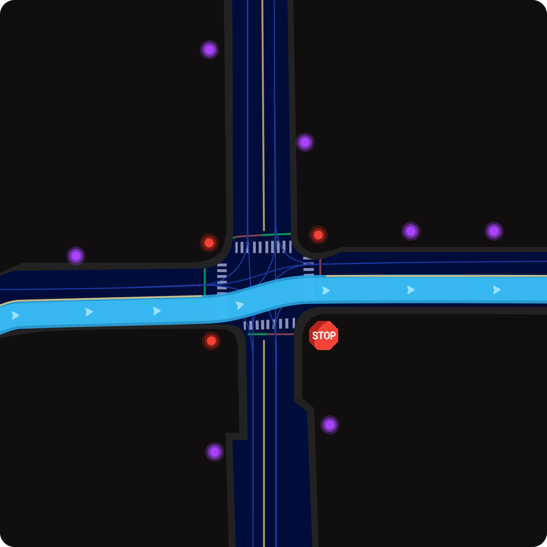
GeoMate’s Compact HD Maps offer centimeter-level accuracy, enabling high-performance localization, path planning, and control for autonomous vehicles.
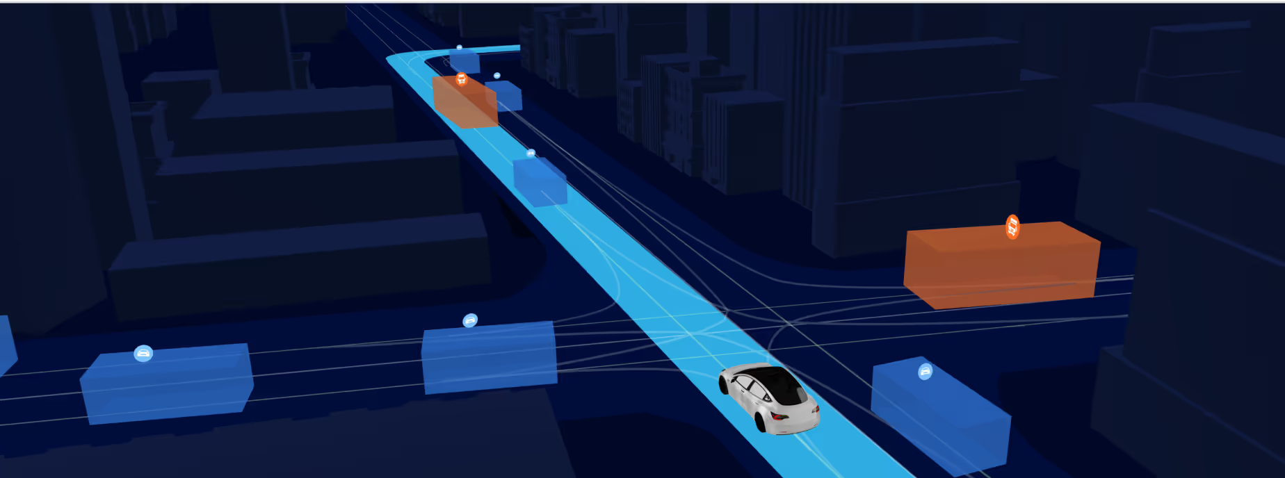
Autonomous navigation depends on high-definition maps that extend a vehicle’s perception range and support real-time decision-making. GeoMate’s Compact HD Maps are built for ADAS and AD systems, serving as a foundational layer for accurate localization, adaptive path planning, semantic understanding, and safety-critical control systems.

Detailed lane geometry and road topology

Crosswalks, stop lines, intersections & traffic control

Roadside features and static objects for sensor fusion

Traffic rules and semantic classifications

High-precision localization for sensor fusion and redundancy

Reliable path planning in urban and dynamic environments

Improved perception through static map overlays

Optimized performance under GPS-denied conditions


Unlike traditional LiDAR-based HD maps, which are bulky and expensive to maintain, GeoMate’s Compact HD Maps provide:
%201.png)
Reduced File Size
Megabytes vs. gigabytes. Vehicle storage and cloud delivery
.avif)
AI-Driven Automation
Faster updates and scalable across cities and fleets

Broad Compatibility
Ready for ASAM OpenDrive, Lanelet2, OSM, and GeoJSON
.avif)
Cost-Effective Mapping
70% less expensive than field-collected LiDAR workflows
Request sample data

Step 1
Data Acquisition & Preparation
Premium aerial imagery processed and calibrated for our advanced AI mapping.

Step 2
Detection, Segmentation, & Fusion
Algorithms identify roads, intersections, traffic control, and lane features with centimeter precision.

Step 3
Semantic Mapping & Traffic Rules
Our system encodes rules, signage, and lane logic for compliant AD/ADAS behaviors.

Step 4
Real-World Construction
QA-validated map packages generated for simulation or real world deployment.

Learn More