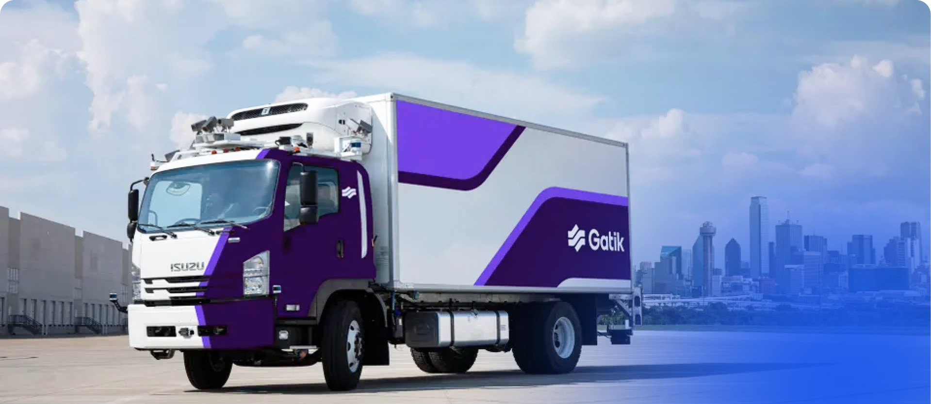
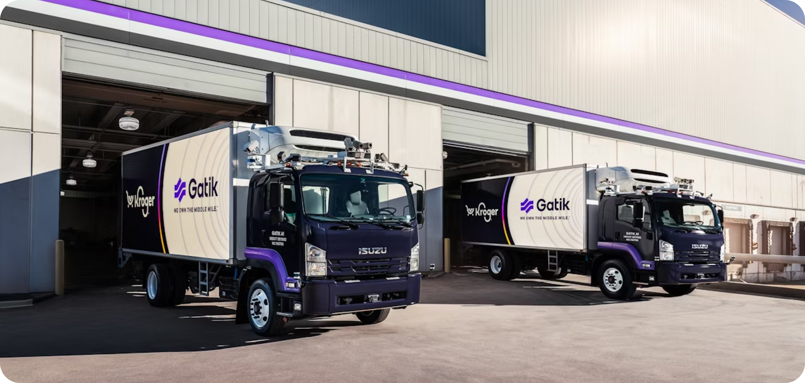
Gatik is a leader in autonomous middle-mile logistics, operating Class 3-6 autonomous trucks between distribution centers and retail locations. Founded in 2017, the company has pioneered a focused approach by concentrating on repeatable, short-haul routes essential to modern supply chains.
Gatik partners with major retailers including Walmart to deliver safer, more efficient transportation solutions across North America.
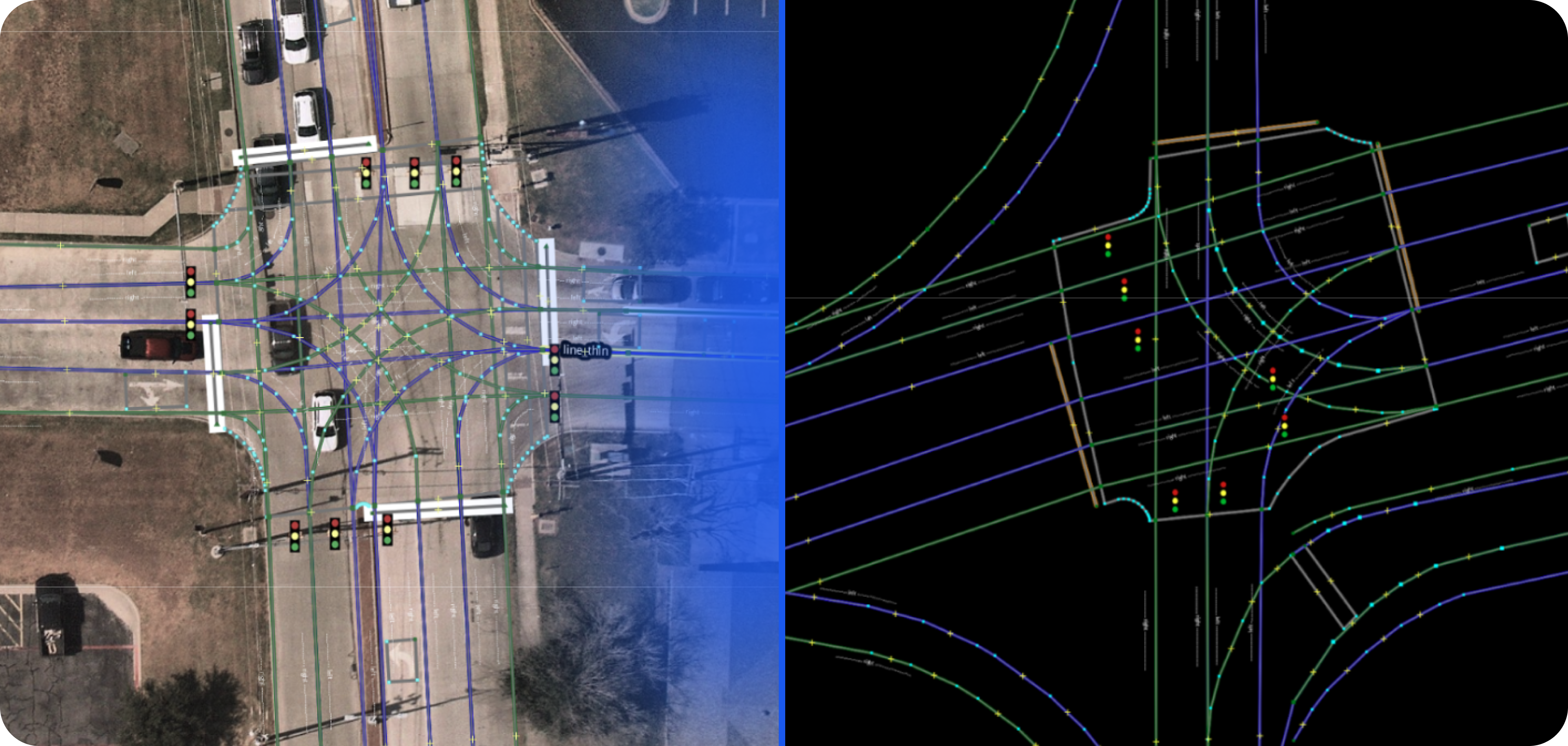
Together, the two companies saw potential: GeoMate could provide the maps for Gatik’s autonomous truck navigation, eliminating the time and money required for Gatik to survey the data themselves.
And in 2024, it happened: Gatik employed GeoMate to map tens of kilometres of road data in Sherman, Texas to optimize the company’s autonomous delivery routes.


Gatik’s partnership with GeoMate allowed them to mitigate risk through GeoMate’s cost-effective approach, effectively preserving the company’s temporal and financial resources.
Consistently, our AI-driven mapping technology empowers partners to achieve faster, more scalable, and cost-efficient deployments for autonomous and transportation operations. We deliver production-ready HD maps in weeks—not months—without the need for costly LiDAR surveys.
With rapid updates, compact data formats, and seamless integration, GeoMate enables you to cut costs, accelerate rollout, and maintain accuracy as road networks evolve.
Learn More