AFL Global is a world leader in telecommunications with over 6,500 engineers across multiple sectors. Founded in 1984, the company offers a wide range of products and services for the energy, service provider, enterprise, and industrial markets.
GeoMate specializes in transforming aerial imagery into compact, high-definition maps using AI-driven automation. Our solution provides partners with detailed spatial data quickly, safely, and cost-effectively - without the need for traditional field surveys.
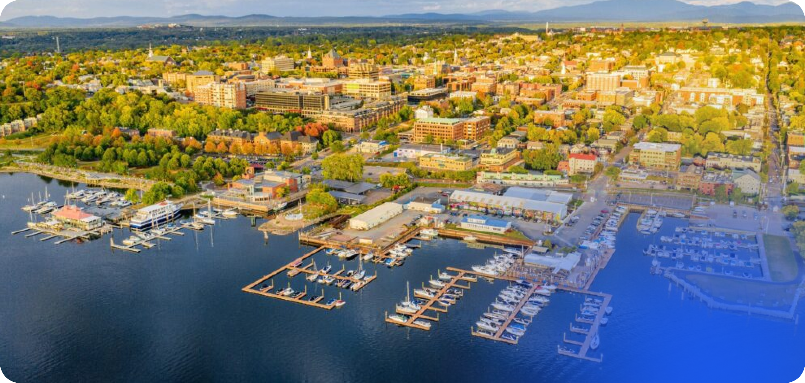
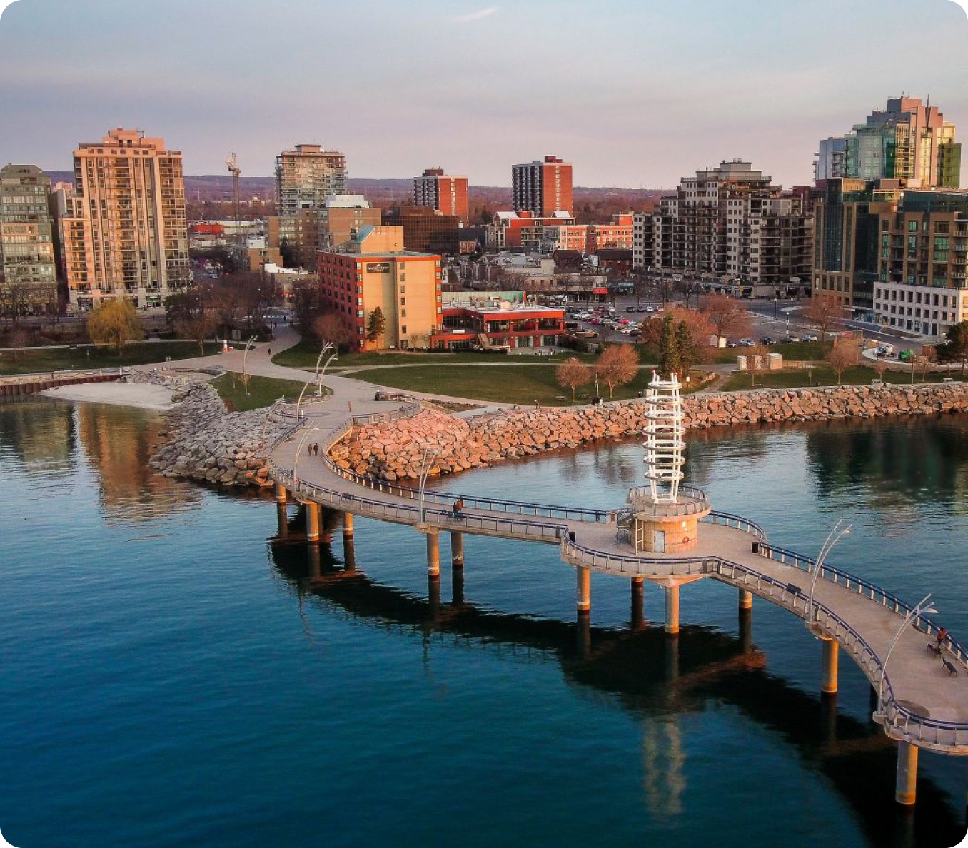
To support Fibre-to-the-Home (FTTH) design and construction (deployment), AFL Global needed hundreds of kilometres of highly accurate infrastructure data for projects across Burlington, Ontario. Traditional mobile LiDAR and field-based survey methods were costly, time-consuming, and presented safety challenges in high-traffic environments.
And that’s where we came in.
In 2025, AFL Global partnered with GeoMate to transform their GIS data capture process for landbase mapping in Burlington, Ontario.


Repeated Scalability
By replacing manual surveys with scalable AI mapping, AFL now has a repeatable, cost-effective solution for future projects, removing safety risks and maximizing operational efficiency.

Higher Precision Data
With 3 cm accuracy achieved through AI-powered aerial analysis, AFL gained survey-grade precision without sending teams into the field, eliminating safety risks and reducing operational costs.

Accelerated Delivery Timelines
GeoMate enabled AFL to complete comprehensive landbase mapping across 120+ km in just 3 weeks - a process that traditionally takes months, empowering AFL to deploy fiber networks faster and meet client demands with greater agility.

Comprehensive Detail
GeoMate’s models extracted detailed data on curbs, gutters, trees, signs, hydro transformers, telecom pedestals, sidewalks, driveways, utility poles, street lights, traffic lights, and more, providing AFL with a complete foundation for network expansion and maintenance.
Learn More